Mountains and National Parks of Tasmania
Ya pulingina Tasmania!
Welcome to a post written with much love and nostalgia. That is exactly what I feel for this island, where I had the privilege of living during 2023-2024. During that time, the adventures were countless, and in this blog, I want to focus especially on the mountains and National Parks I was able to explore.
Freycinet National Park
The most stunning park for me is Freycinet National Park. It’s where I lived, and a piece of me stayed there when I left. Located on the East Coast, it belongs to the only postcode considered a “remote zone” on the island. It features six pink granite mountains and turquoise waters, wild animals everywhere, two tiny villages, a harbor, and a bus stop.
I came to know those six mountains like the back of my hand: Mount Parsons, Mount Mason, Mount Dove, Mount Amos, Mount Graham, and Mount Freycinet.
Mount Amos was officially declared my favorite place in the world. I don’t know how many times I climbed it; I only know I celebrated my arrival in Freycinet there, my birthday, and my final farewell. Mount Graham and Mount Freycinet (the highest) were the next most traveled, accessible via the Freycinet Circuit, a 30km loop that most people complete in two days. Even so, there were very few people.
Parsons, Mason, and Dove had no official paths. Only a few of us “crazies” living there climbed them—especially Mason and Dove. There are no tracks, just a stray cairn from god-knows-when. It’s incredibly easy to get lost or get “bluffed out” (stuck on a ledge). They were small peaks but very steep (pindios) and involved scrambling. For my taste, they were incredibly fun.
 Mount Amos
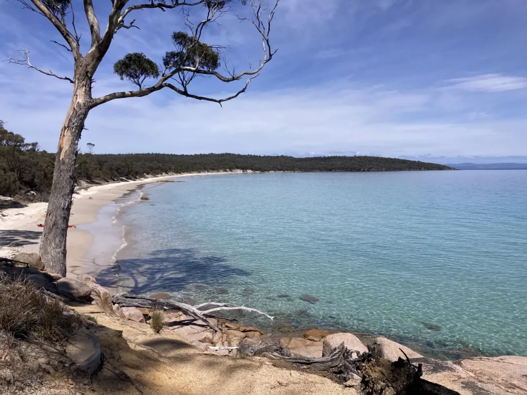 Cooks Beach
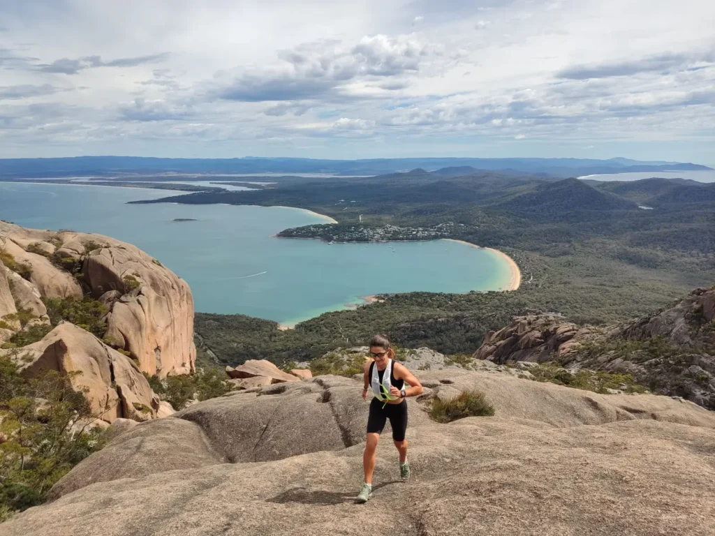 Mount Dove
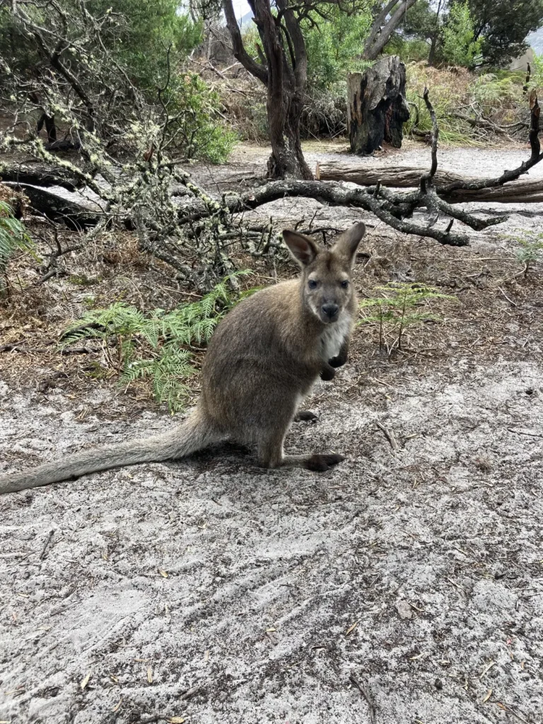 Wallaby in Freycinet
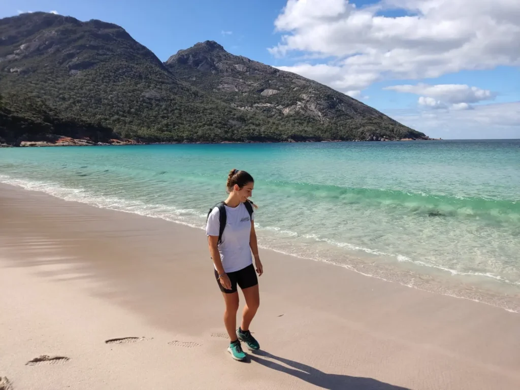 Beach below our house
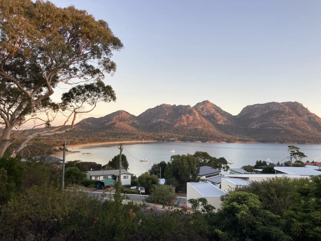 Views from our terrace
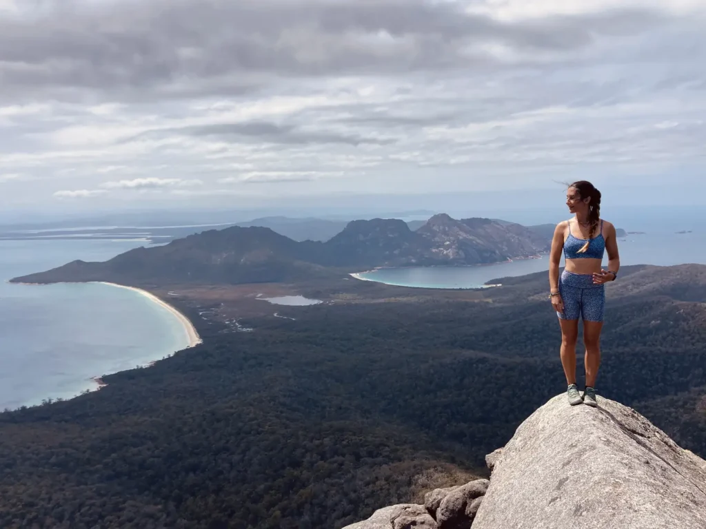 Mount Freycinet
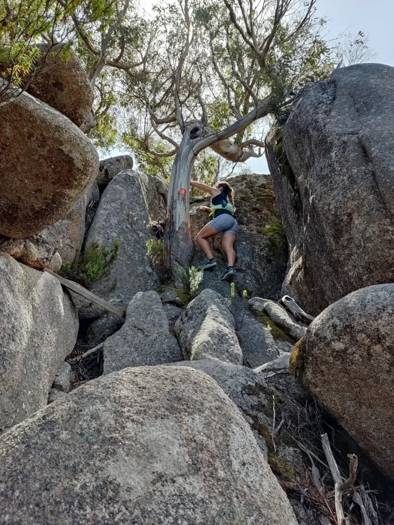 Climbing to the top of Mount Freycinet
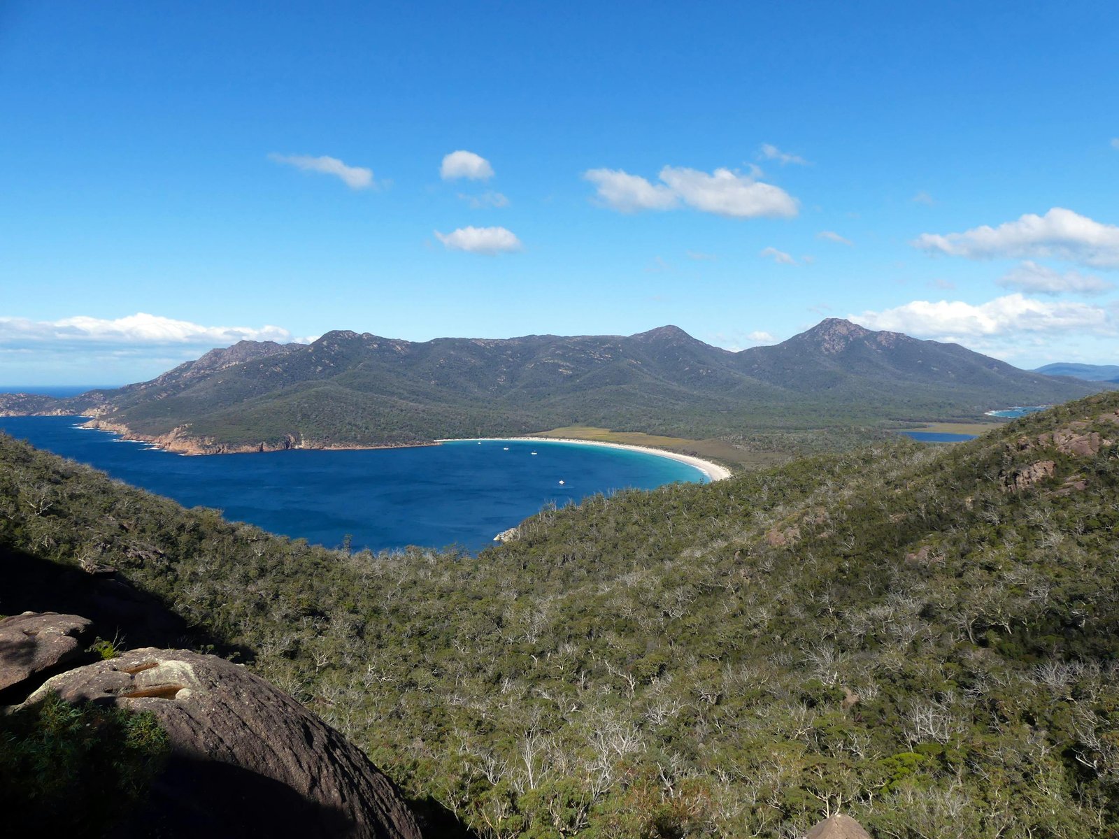
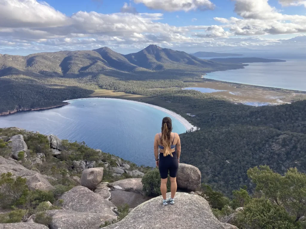
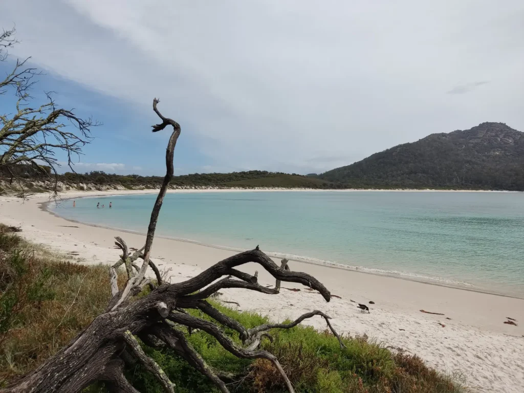 Wineglass Bay
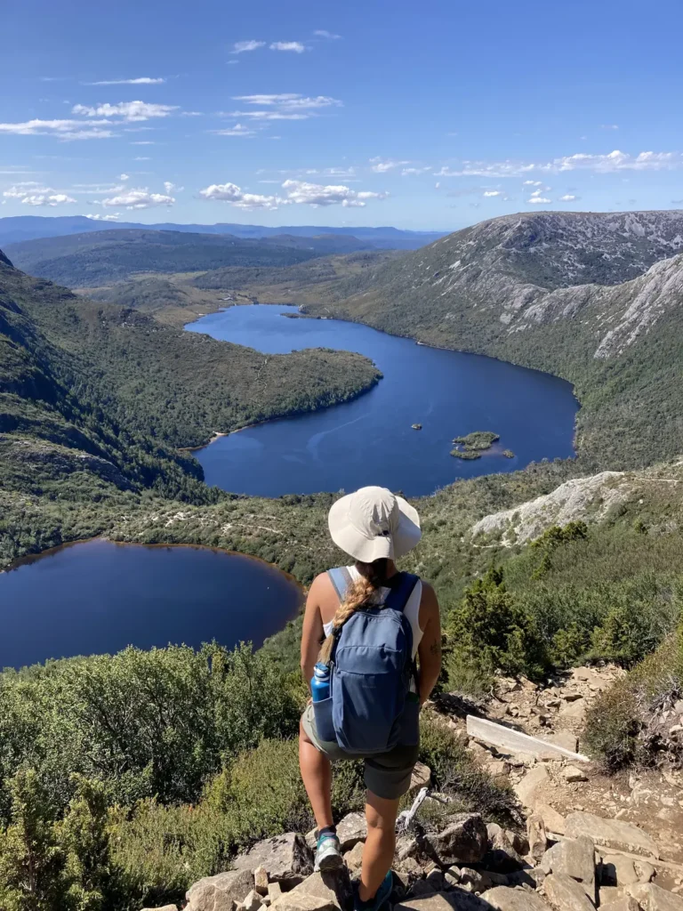
Cradle Mountain-Lake St Clair National Park
Located in the central-west, this park is part of the Tasmanian Wilderness World Heritage Area, protected for its biodiversity. It was one of the first places we visited. Since we lived in Penguin, on the North Coast, it was relatively close.
The summit of Cradle Mountain reaches 1,545m, and we didn’t hesitate to take the route to the top. The park is famous not only for this jagged rock formation (which requires a scramble to summit) but also for its glacial lakes, wombats, and the legendary Overland Track—a 6-7 day trek that attracts adventurers from all over the world.
 Cradle Mountain
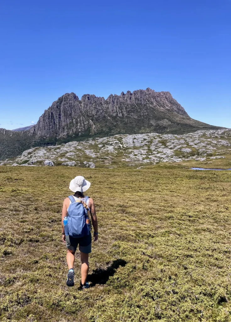 Cradle Mountain
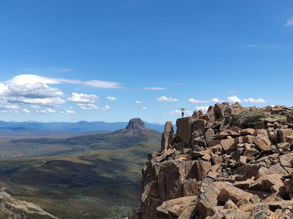 Cradle Mountain
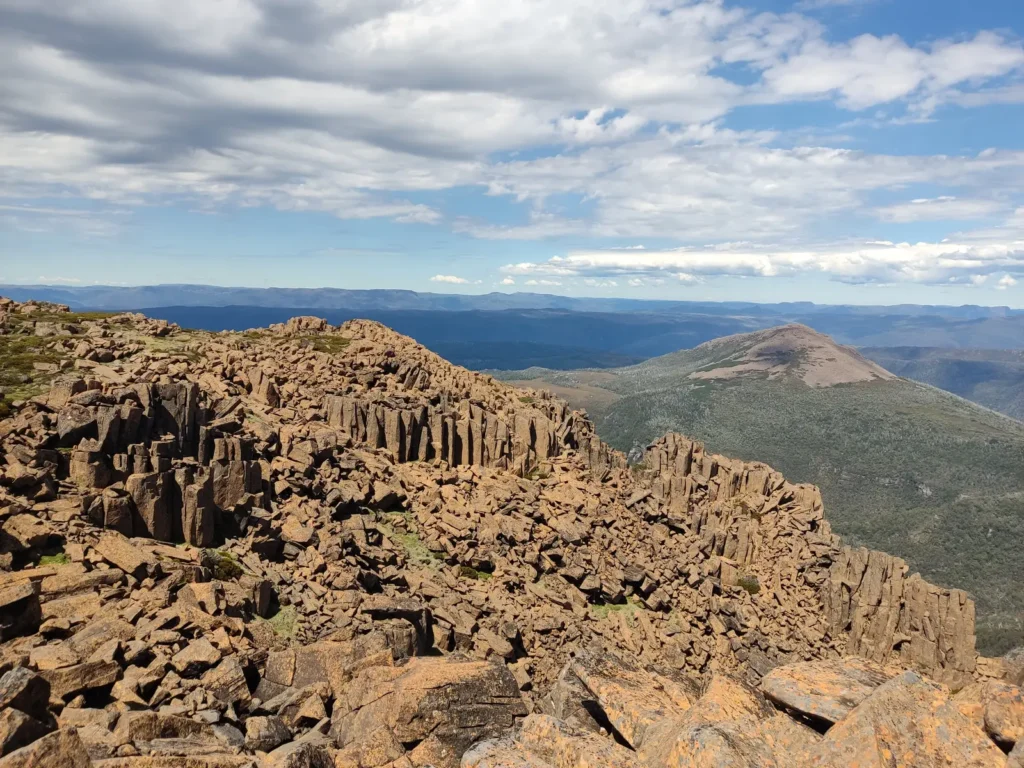 Cradle Mountain
Maria Island National Park
Yes, I know—an island named after me (Maria Island)! It was my destiny to end up there.
Maria Island is one of those places that feels like it’s from another world. Located off the East Coast of Tasmania, it is only accessible by ferry from Triabunna, which already makes it feel special. There are no cars, no shops, and no residents; it is pure nature and silence. You’ll find incredible beaches, massive cliffs, and mountains to hike (like Bishop and Clerk and Mount Maria), along with a wealth of wildlife you can see up close: wombats, wallabies, Tasmanian devils… I was incredibly lucky to see several wombats with their joeys.
I went alone, and since I only had one day to explore, I took my mountain bike on the ferry and rode around the entire island. I covered about 40 km on all types of terrain—dirt, sand, and forest. It was grueling! But at least I got to see the whole island and reach places where no one else goes. There were moments when I thought, “Good grief, if anything happens to me here, the snakes will eat me…” hahaha. I saw several, by the way. I almost ran over a tiger snake with my bike. Maria Island is truly one of the most incredible and unique national parks I have ever visited.
 Maria Island
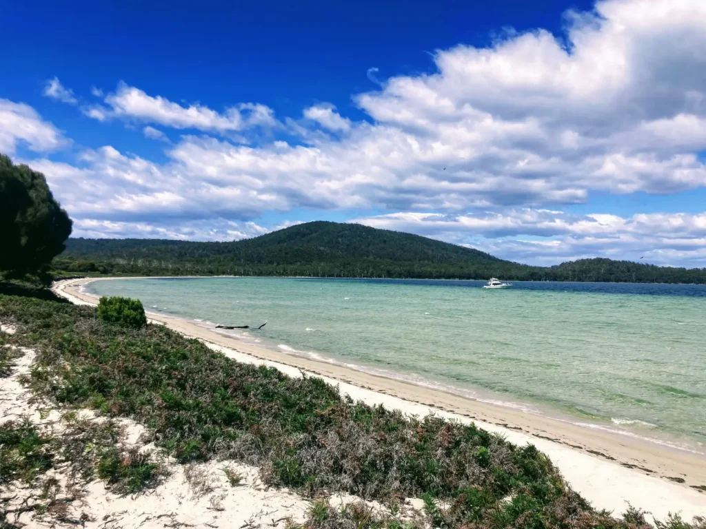 Maria Island
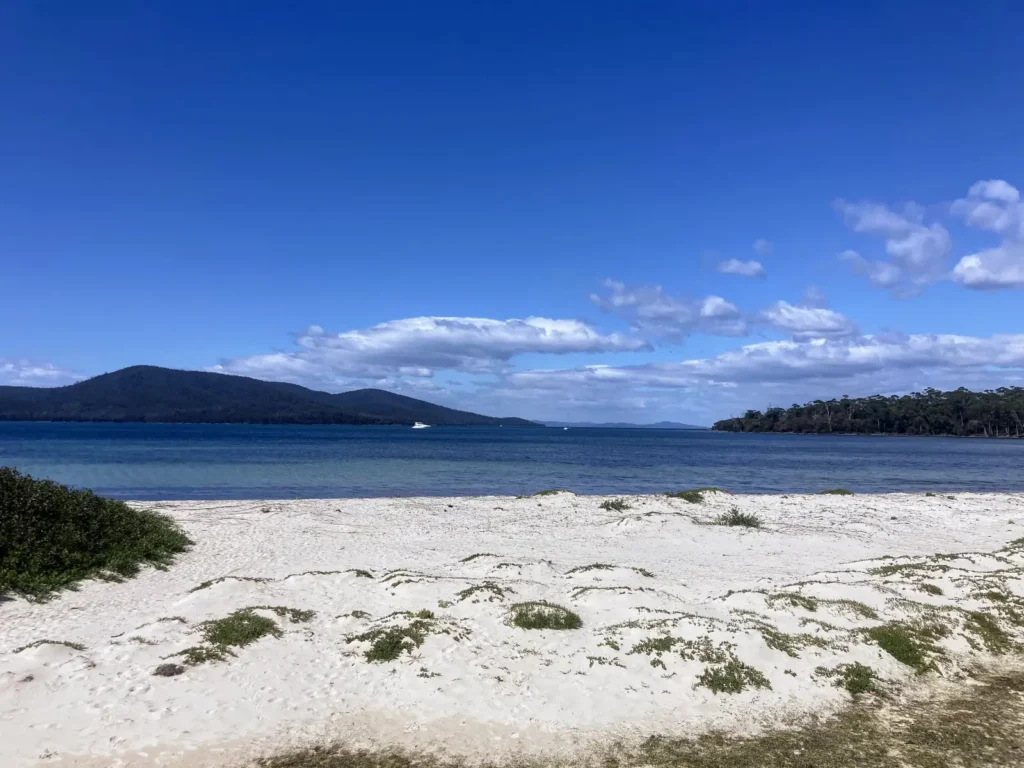 Maria Island
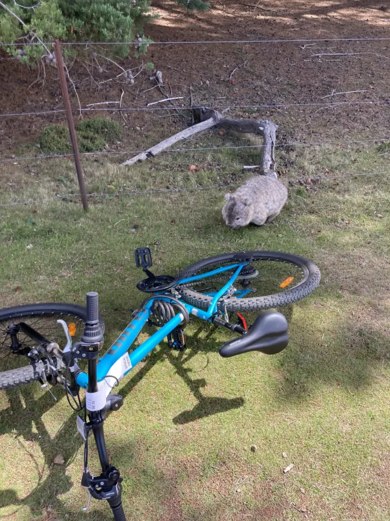 Maria Island
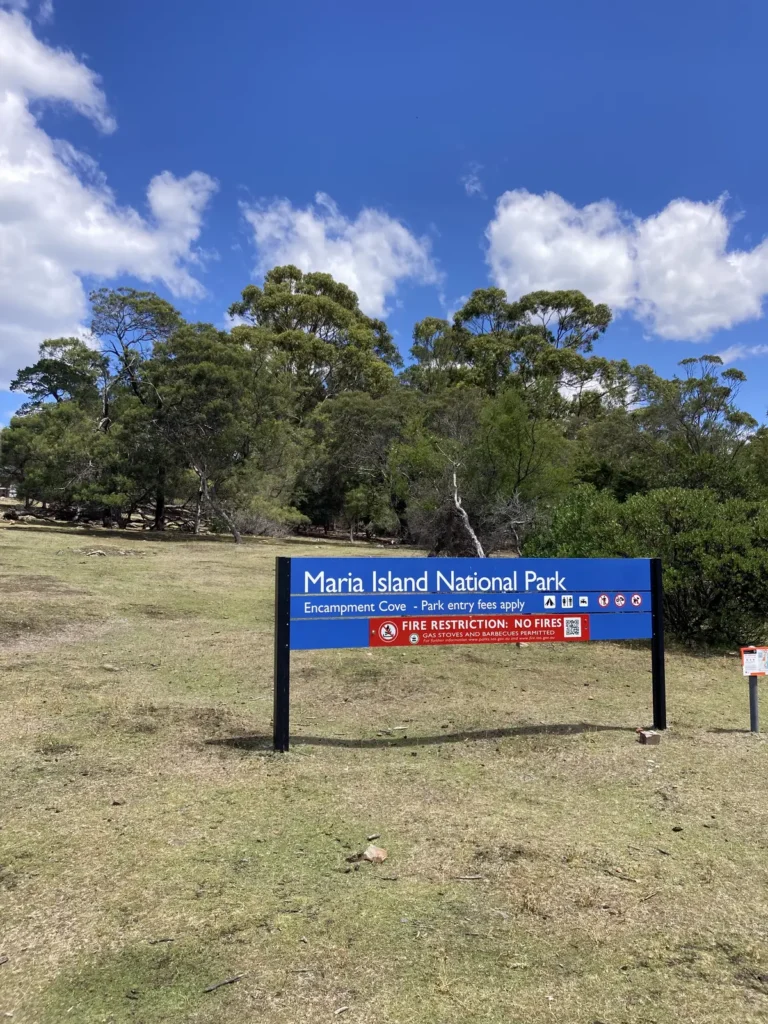 Maria Island
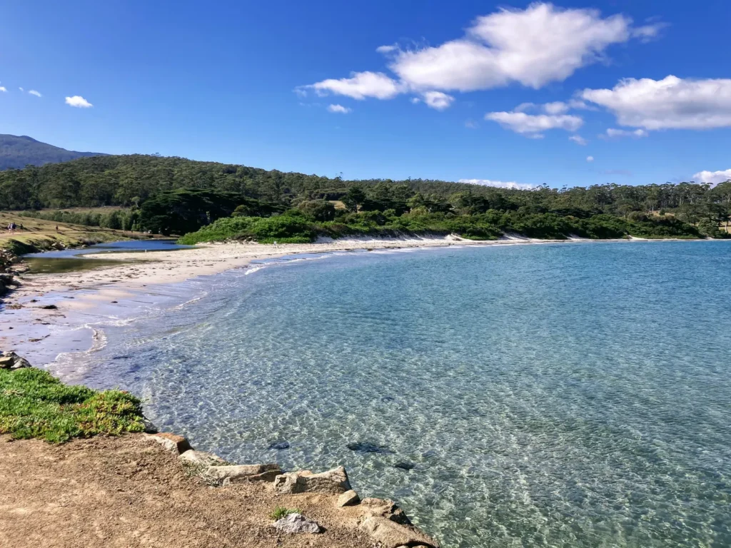 Maria Island
Saint Valentine’s Peak – Old Park Forest Reserve
This mountain is located in the north of Tasmania and is hardly known at all. We stumbled upon it while exploring and decided to ascend its 1,110 meters. On the clear day we chose, we were lucky enough to see Cradle Mountain in the distance, Mount Roland, and even the Bass Strait—the stretch of ocean that separates Tasmania from mainland Australia.
Absolutely alone, we enjoyed a beautiful and epic route, with that wild and virgin feel that so many places in Tasmania possess. Overgrown paths, vegetation everywhere, wild fauna, and absolute silence.
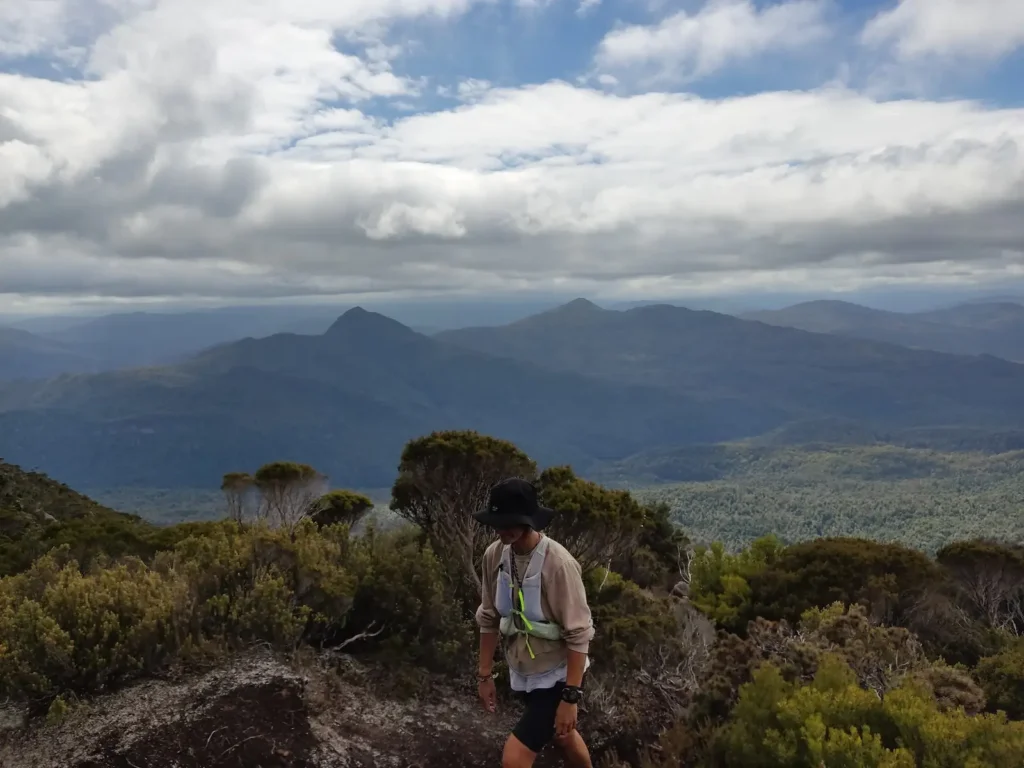
Mount Murchison Regional Reserve
Another solitary mountain belonging to the West Coast Range in the island’s west.
The ascent of Mount Murchison (1,275 m) is short but steep, set in an area sculpted by Jurassic-era glaciers, high-mountain lakes, and dolerite rocks. The route is incredibly diverse: it starts in a lush, deep-green rainforest, transitions into an open area with views of the glacial cirque, and ends with a steep, technical section using a fixed rope to reach the summit. The feeling of solitude and remoteness in Tasmania’s mountains is something truly difficult to explain.
 Mount Murchison
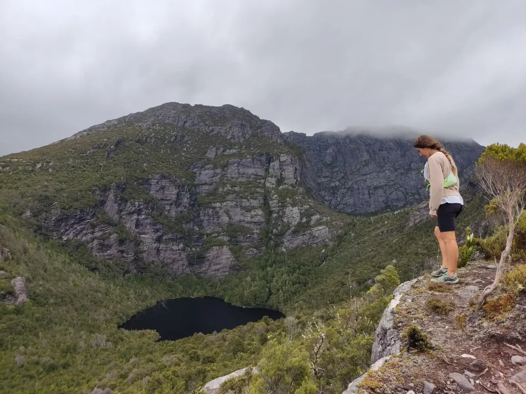 Mount Murchison
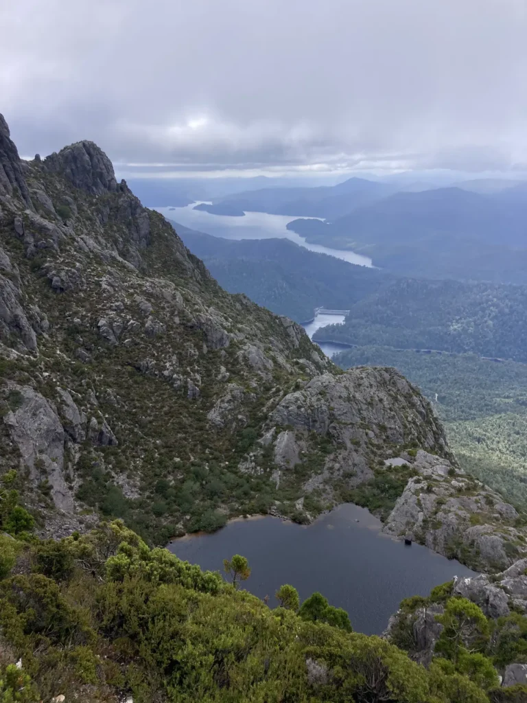 Mount Murchison
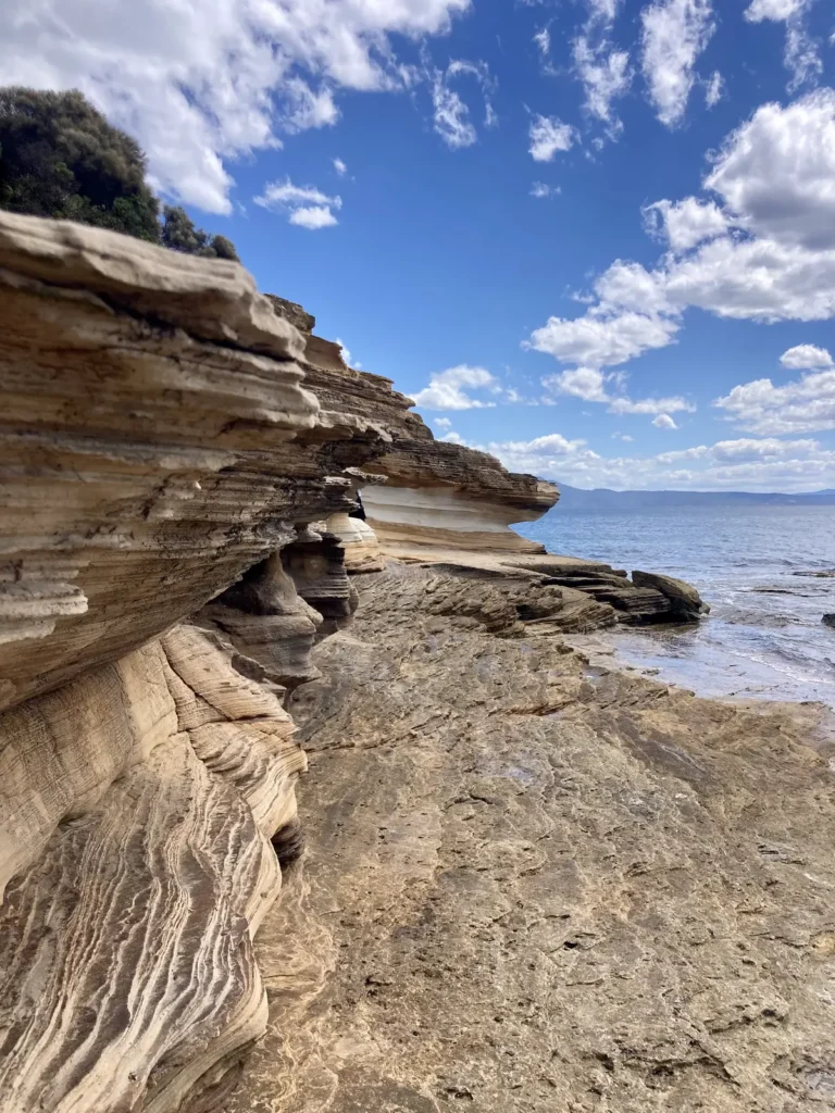
Tasman National Park
This park is located on the Tasman Peninsula, in southeast Tasmania. It’s a rugged coastal area with soaring cliffs, sea caves, and unique geological formations like the Tasman Arch and the Blowhole.
We explored it to the fullest in our little Daihatsu Terios 4×4, camping in breathtaking spots. There are several trails within the park, from short walks to longer routes; we chose the trail to Cape Raoul and another to Shipstern Bluff—a cliff overlooking a legendary wave, considered one of the most dangerous in the world.
In some sections, you can spot seals, seabirds, and even whales. It’s a windy, quite isolated place with imposing landscapes. It sees a bit more tourism than other parts of Tasmania, likely due to its proximity to the capital, Hobart. It’s a spectacular area with both calm and surf beaches, forests, and unique campsites where you can wake up next to wallabies and possums.
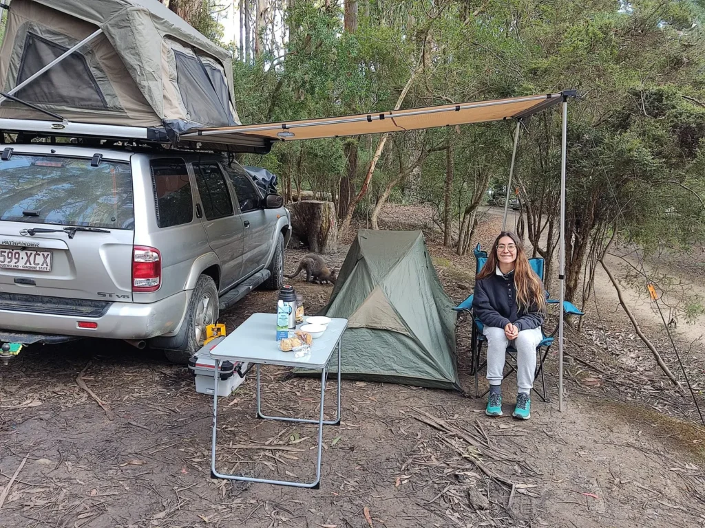 Camping in Tasman National Park
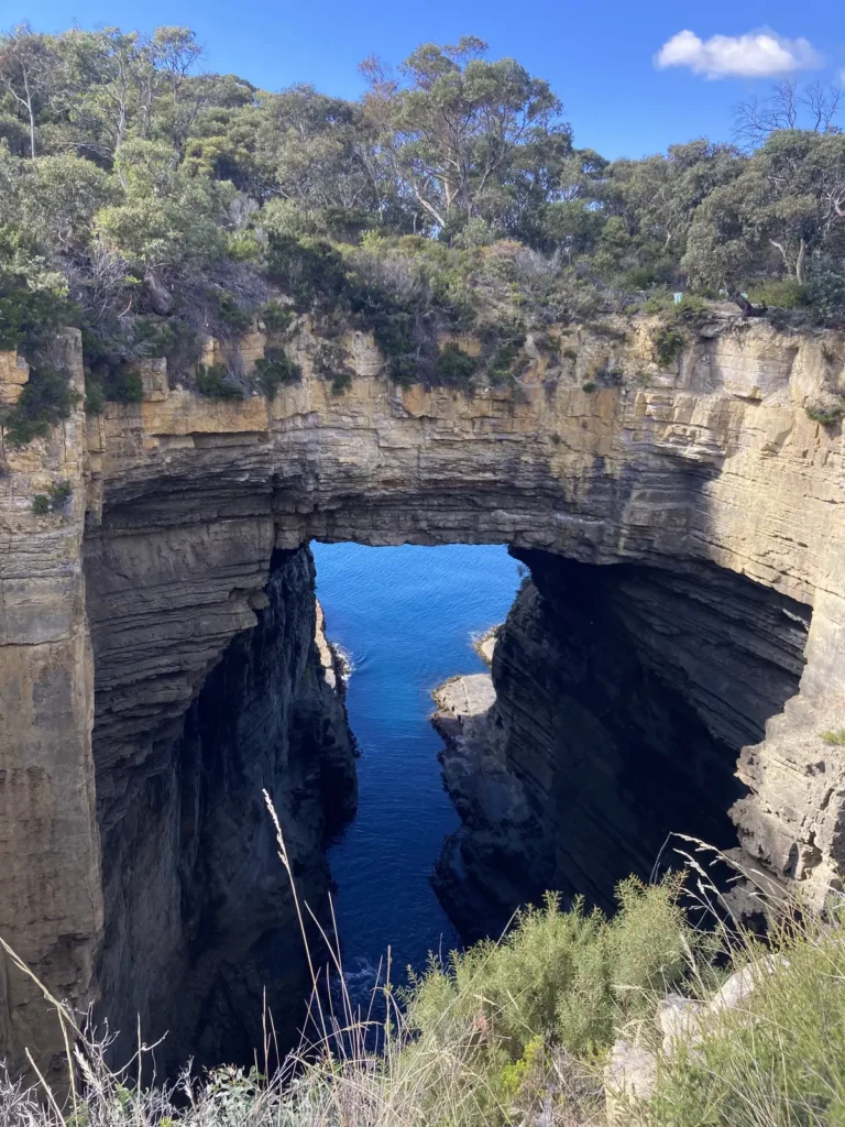 Tasman National Park
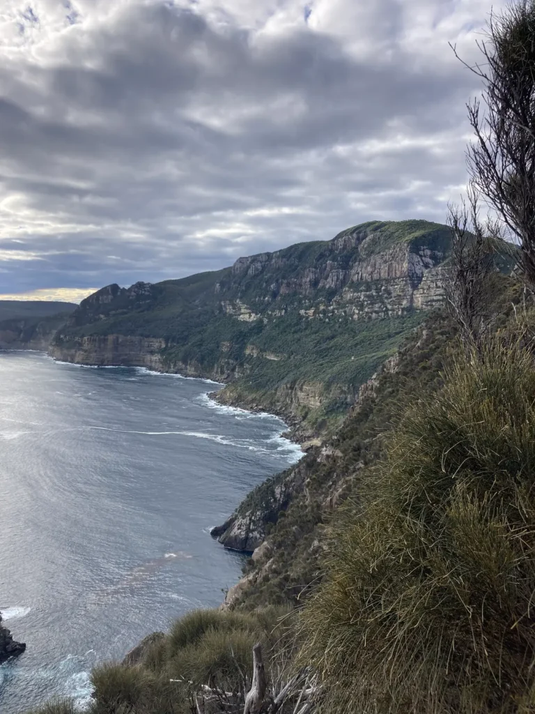 Tasman National Park
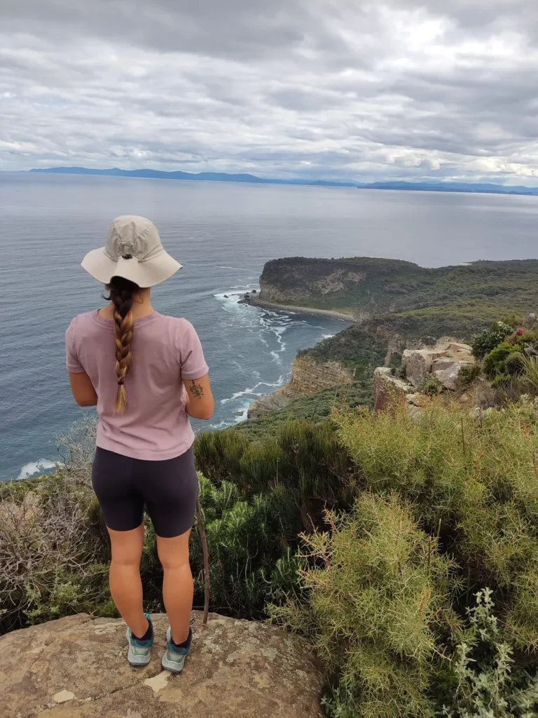 Tasman National Park
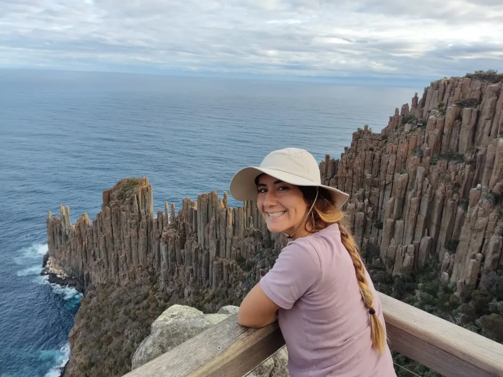 Cape Raoul
For more information on routes, access, or permits, you can visit the official Tasmania Parks and Wildlife website.